
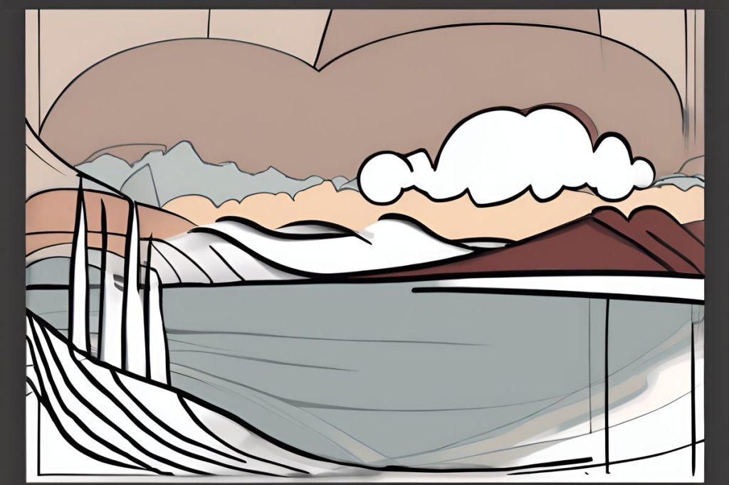
The island’s weather outlook this week is a mix of clouds and clear skies, with isolated showers and thunderstorms, especially in the east. Temperatures will range from 27C inland to 14C in the mountains, with winds increasing from gentle to moderate levels. Midweek brings patchy rainfall, while Thursday offers sunshine. Seas will remain rough, caution is advised for maritime activities.
What is the weather outlook for the island this week?
Expect a mix of clouds and clear skies, with isolated showers and thunderstorms, especially in the east. Temperatures will range from a high of 27C inland to 14C in the mountains. Winds will start gentle but grow to moderate levels. Midweek brings patchy rainfall, while Thursday offers sunshine. Seas will remain rough, and winds will vary, so caution is advised for maritime activities.
Unsettled Weather Patterns Ahead
As we step into the new week, the island is shrouded in clouds with the promise of isolated showers. Those situated in the eastern regions can expect sporadic thunderstorms early in the day. This weather front, tracking southeast, is slated to cast a wider net, bringing its influence to bear on most areas. The atmosphere will play host to a dynamic tableau, characterized by afternoon cloud formations that beckon rains and the possibility of storms, particularly in the mountainous terrains and the southern, eastern, and central parts of the island.
Amidst these changes, the mercury is set to rise, reaching a balmy 27C in the inland zones. Coastal areas will experience a more temperate 24C, while the higher elevations brace for a cooler 14C. The winds, hailing from the south-west before veering north-westerly, commence at a gentle pace—a mere 4 on the Beaufort scale—before escalating to a vigorous 5. Mariners will note the sea’s restlessness, manifesting as a rough dance upon the water’s surface.
As dusk falls, a mostly clear sky will drape itself over the island. However, low clouds will linger along the coastlines, a remnant of the day’s earlier fickle weather. Temperatures will descend to a cool 14C inland, a slightly warmer 16C by the sea, and a crisp 8C in the elevated regions. The winds, maintaining their south-westerly to north-westerly trajectory, will subside to a more moderate 4 Beaufort, eventually calming further to 3 Beaufort. Despite the wind’s lull, the sea will retain its rough demeanor from earlier in the day.
Midweek Forecasts and Temperature Trends
Looking ahead to Tuesday and Wednesday, the skies will present a patchwork of clouds with rainfall expected to resume its rhythm in the afternoons. Those venturing into the mountains or finding themselves in the south, east, or center of the island would do well to carry an umbrella. By contrast, Thursday promises an interlude of sunshine, offering a respite from the damp conditions.
With the sun’s return, temperatures are on an upward trajectory, steadily climbing towards seasonal averages. This gentle increase suggests a gradual shift in the weather pattern, leading inhabitants and visitors alike to anticipate warmer days ahead, reflective of the region’s climatic norms.
Anticipated Wind Patterns and Marine Conditions
Throughout the forecast period, wind behavior remains a significant consideration for outdoor activities and maritime ventures. The oscillation between light and moderate breezes to stronger gusts necessitates vigilance, especially for those navigating the capricious seas. While the rough seas pose challenges, they also remind us of the island’s dynamic nature, where the elements converge to shape the environment and the experiences of those within it.
Inland, the fluctuating winds contribute to the weather’s unpredictable character, accentuating the need for preparedness amidst the island’s diverse climate zones. From the coastal serenity to the mountain chills, each area offers its own unique encounter with the elements, underscoring the rich tapestry of weather that the island experiences.
What is the weather outlook for the island this week?
Expect a mix of clouds and clear skies, with isolated showers and thunderstorms, especially in the east. Temperatures will range from a high of 27C inland to 14C in the mountains. Winds will start gentle but grow to moderate levels. Midweek brings patchy rainfall, while Thursday offers sunshine. Seas will remain rough, and winds will vary, so caution is advised for maritime activities.
What can be expected in terms of temperature trends midweek?
On Tuesday and Wednesday, temperatures are expected to climb towards seasonal averages as the sun returns. The gentle increase in temperature suggests a shift in the weather pattern towards warmer days ahead, in line with the region’s climatic norms.
What wind patterns and marine conditions are anticipated during this time?
Wind behavior will vary between light and moderate breezes to stronger gusts throughout the forecast period. This fluctuation necessitates vigilance, especially for those engaging in maritime activities. Rough seas are expected, highlighting the island’s dynamic nature shaped by the convergence of elements. Preparedness is key amidst the diverse climate zones, from coastal areas to mountain regions.
How will the atmosphere change as the week progresses?
The atmosphere will present a dynamic tableau, with isolated showers and thunderstorms in the east early in the week. Afternoon cloud formations will bring rains and the possibility of storms, particularly in mountainous terrains and southern, eastern, and central parts of the island. As dusk falls, mostly clear skies are expected, with lingering low clouds along coastlines. Temperatures will vary, with winds gradually subsiding to more moderate levels.