
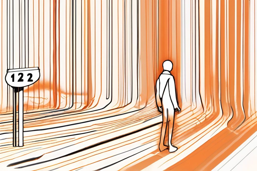
An orange warning has been issued for extreme heat and dust in the Mediterranean, with temperatures reaching up to 43°C inland and 38°C on the coast. Precautions such as staying hydrated and avoiding direct sunlight are crucial to cope with these intense conditions.
What is the orange warning for extreme heat and dust?
An orange warning signifies extreme high temperatures with significant health impacts. The Mediterranean is experiencing a severe heatwave with inland temperatures up to 43°C and coastal areas around 38°C. Light dust in the air adds to the intense conditions. Precautions include staying hydrated and avoiding direct sunlight.
Heatwave Hits Hard
The Mediterranean is feeling the scorching effects of a severe heatwave. With temperatures soaring, an orange warning has been announced, signaling extreme high temperatures that could have significant health impacts. This alert is particularly relevant on Wednesday, as the mercury is expected to climb to harrowing highs. Inland areas are bracing for temperatures up to 43°C, while coastal regions are not far behind, with south and east coasts anticipating 38°C and the north coast 36°C. Even the typically cooler west coast and higher mountain areas will experience a toasty 34°C.
As if the heat weren’t enough, a veil of light dust is forecasted to hang in the air, adding a hazy layer to the already intense conditions. The winds, shifting in direction from north-westerly to north-easterly and at times even south-easterly to south-westerly, are expected to remain light at 3 Beaufort. However, they may pick up in the afternoon, reaching moderate levels of 4 Beaufort. Those seeking respite by the water might find conditions slightly more agreeable, with the sea predicted to be calm to slightly rough.
The Night Offers Little Relief
As the sun sets, don’t expect the temperature to plummet. The nights will also be exceptionally warm, providing minimal relief from the day’s heat. Interior regions will see nighttime temperatures hover around 27°C, coastal areas will dip slightly to 25°C, and the mountains will cool down to 22°C. Winds during the evening will predominantly blow from the south at a gentle 3 Beaufort, though they may intensify locally, reaching moderate levels. The sea’s temperament will echo that of the daytime, maintaining its calm to slightly rough nature.
Looking ahead, the heatwave is set to persist through Thursday and Friday. The mountains may get some respite with increased cloud cover, but don’t expect a significant drop in temperature just yet. It’s not until Saturday that the region may experience a slight decline in heat levels. This cooldown will likely be accompanied by increased afternoon clouds, which could lead to a few isolated showers, primarily in the mountainous and interior regions. This potential precipitation could offer a brief break from the relentless high temperatures, but residents should remain prepared for continued warmth.
Precautions and Preparations
In such extreme weather conditions, staying safe is paramount. The orange warning serves as a reminder to take necessary precautions against the heat. It’s crucial to stay hydrated, avoid direct sunlight during the hottest parts of the day, and wear appropriate clothing and sunscreen. Vulnerable populations, such as the elderly and children, should be given special attention to ensure they remain cool and well.
Authorities are also on high alert, with the potential risks of heat-induced illnesses and the increased likelihood of fires. Emergency services are prepared to respond to any heat-related incidents, and the public is urged to report any signs of fire immediately. With the proper measures in place and awareness among the community, it’s hoped that the impact of this extreme weather event can be managed effectively.
What is the orange warning for extreme heat and dust?
An orange warning signifies extreme high temperatures with significant health impacts. The Mediterranean is experiencing a severe heatwave with inland temperatures up to 43°C and coastal areas around 38°C. Light dust in the air adds to the intense conditions. Precautions include staying hydrated and avoiding direct sunlight.
How high are the temperatures expected to reach during this heatwave?
Inland areas are forecasted to reach temperatures up to 43°C, while coastal regions will see temperatures around 38°C. The night temperatures will also remain warm, with interior regions hovering around 27°C, coastal areas at 25°C, and mountains cooling down to 22°C.
What precautions should be taken to stay safe during this extreme weather?
To stay safe during the extreme heat and dust, it is crucial to stay hydrated, avoid direct sunlight during the hottest parts of the day, wear appropriate clothing, and apply sunscreen. Special attention should be given to vulnerable populations such as the elderly and children to ensure they remain cool and well.
How long is the heatwave expected to last and what can we expect in the coming days?
The heatwave is expected to persist through Thursday and Friday, with a slight cooldown anticipated on Saturday. Increased cloud cover may offer some relief, potentially leading to isolated showers in mountainous and interior regions. Authorities are prepared for any heat-related incidents and the public is urged to report signs of fire immediately.